HANSEL
LOCALIZEResearch prototype
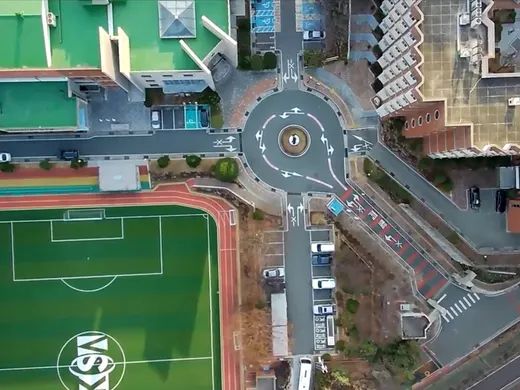
Localization research for map-referenced position hypotheses.

FLARE AEROSPACE
OBSERVE / UNDERSTAND / NAVIGATE / ACT
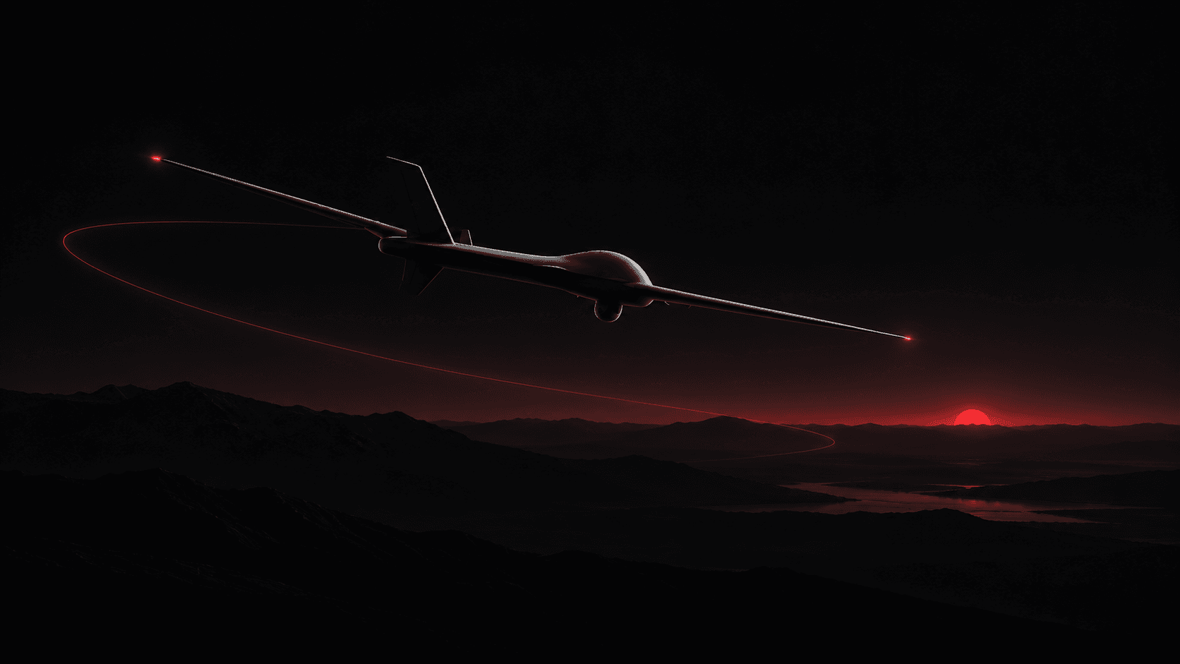
We develop visual localization and mission-autonomy systems for UAVs operating where GNSS cannot be relied on.
Explore technologyRESEARCH FOOTAGE / 3× PLAYBACK
01 / Observe
Read the world.
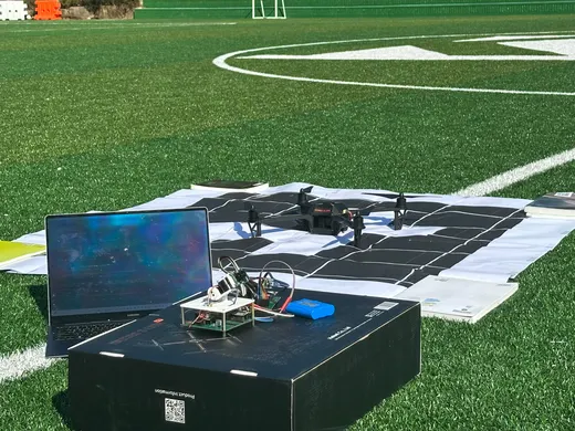
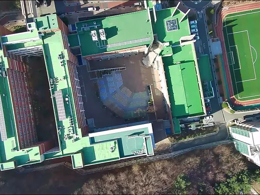
Products / Two connected families
02 / Understand
Localization & Anchor System
Illustrative: Reference found. Reference extended.
Research prototype
Localization research for map-referenced position hypotheses.
Under development
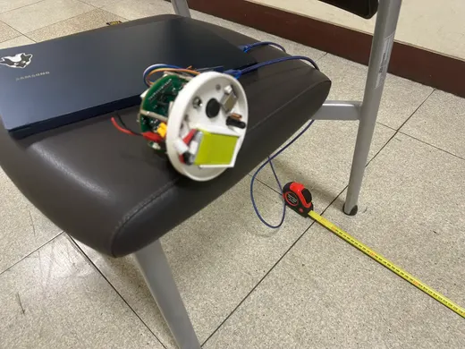
A reference-extension architecture using deployable UWB anchors.
03 / Navigate
Agentic Autonomous UAV System
Mission input
Search this area and find black vehicles.
PROSPERO / Receive
Receiving the search request.
Illustrative mission sequence. Not live telemetry.
In development
Mission intelligence being developed to structure operator intent.
Execution architecture
An intended execution layer for flight, observation, and feedback.
Research / Evidence
Research evidence informs the stack. It is not a specification for every current product.
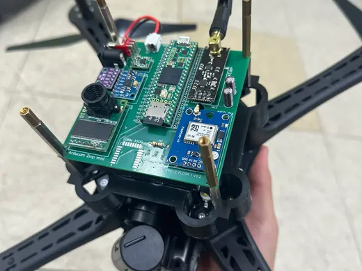
Predecessor research was evaluated across nine recorded real-flight trials at two physical sites. Reported horizontal localization errors ranged from 3.8 to 8.6 m, with a mean of approximately 5.5 m.
Limited predecessor field evaluation; not a universal performance specification or a current HANSEL performance guarantee.
04 / Act
Flare Aerospace / 01 Origin
Flare's roots lie in hands-on rocket experimentation and rocket education.
A rocket-education business was registered in 2022. Early work included modular educational rocket kits and launches.
The work gradually moved from building vehicles to a harder question: how can an autonomous system understand where it is and what it should do next?
Today, Flare's R&D focuses on GNSS-independent localization and autonomous aerial systems.
02 / Research Lineage
03 / Current Flare Focus
Flare is developing two connected technology families: map-referenced localization and reference extension, and mission intelligence and autonomous execution.
04 / Founder
Jeongwoo Kim leads Flare's technical development. His research spans UAV hardware, computer vision, semantic localization, and autonomous navigation.
CanSat competition — team leader, top award in a two-person team.
KSEF — Gold Award, individual research.
Regeneron ISEF — Korea representative finalist.
Individual and team achievements, not Flare company awards.
R&D note: A Korean patent application related to GNSS-independent localization was filed in 2026. An application, not a granted patent.